Thursday, January 17, 2013

Lincoln Lake

Located in Lincoln, about 20 miles west of Fayetteville, Lincoln Lake is about as good as city parks get for outdoor enthusiasts, with trails for hiking and mountain biking, water for paddling, and widespread scrambling, bouldering, and roped climbing options for rock climbers.  As a novice climber and the only person in the park today, I stuck to hiking and followed the Lake Loop route with a short detour to add on the Lower Eagle Loop.  In addition to interesting rock formations and sheer 30-40' bluffs, the park has a variety of habitat types ranging from scrubby bottomland forest around the incoming streams to drier oak/hickory/cedar complexes on top of the bluffs.

The trails here are very well-marked and work is on-going to improve some sections for biking and easier hiking.  The Lake Loop trail varies from somewhat steep, rocky, and rough  to a flat gravel road.  There are great views all along the trail, but my favorites were from the dam and the Lake View Overlook.

I wrapped up my trip with a local favorite "Burrito Salad" (deep-fried burrito with tomato and lettuce on top) and a Pizza Burger at American Drive-In on the main drag in Lincoln.

I hope to return and cover some other trails and activities at this park, but until then, you can get more information at: http://www.lincolnarkansas.com/?page_id=290


Lincoln Lake, Lincoln Arkansas


Lincoln Lake Map, Lincoln Arkansas

Lincoln Lake, Lincoln Arkansas

Lincoln Lake Climbing, Lincoln Arkansas
Rock Climbing Route #23

Lincoln Lake, Lincoln Arkansas

Creek Crossing

Lincoln Lake, Lincoln Arkansas
My Pinky and Buddy Check Out Lake View Overlook


Lincoln Lake, Lincoln Arkansas


American Drive-in, Lincoln Arkansas


View Lincoln Lake in a larger map

Friday, January 4, 2013

Pear Lake Ski Hut Snowshoe

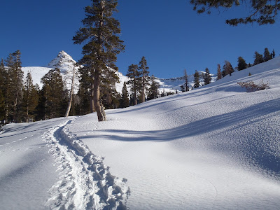
A friend and I started out 2013 with a trip to Sequoia/Kings Canyon National Park to snowshoe up to the Pear Lake Ski Hut (followed by a few days at Joshua Tree National Park).  To get somewhat acclimated, we spent a night at Wuksachi Lodge (7,000') and tested our gear with a short snowshoe around the Giant Forest sequoia grove.  After seeing the awe-inspiring General Sherman, The President, Chief Sequoyah, and The Senate trees via some combination of summer, winter, and off-trail routes we drove back to the lodge for a great meal and some sleep.

We took advantage of the satisfying (and warm) breakfast buffet at Wuksachi before packing our backpacks, driving the short distance to Lodgepole to drop off our backcountry permit, and finally driving a few more minutes to the Pear Lake Trailhead at Wolverton.  While putting on our packs and snowshoes, we questioned our choice of winter activities while listening to shouts of joy and laughter coming from the nearby snow-play area where people were sledding.

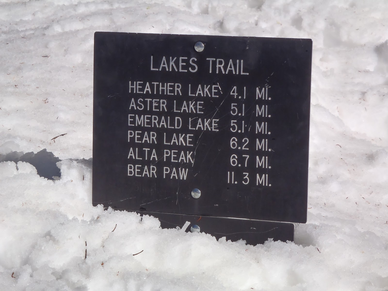
As you can see on the map and elevation graph below, the trek up to Pear Lake is 5-6 miles and involves lots of elevation change.  While our route was just over 5 miles, the summer route is less direct, has more switchbacks, and goes a bit past the hut to the campsites at the lake.

The first mile and a half or so were not bad as we worked our way gradually uphill through a fairly dense forested area.  At the Panther Trail junction, the route to Pear Lake veers off  to the left and heads straight up a long, steep slope nicknamed "The Hump".  The next two miles were pretty brutal on our calves (and egos) as we gained about 1,700 ft. in elevation with very little help from any switchbacks.  The Hump tops out (after several false summits) at 9,400 ft. and offers some great views while you catch your breath.

From there the trail shot down a steep slope to Heather Lake, which was frozen over.  After opting to snowshoe around the lake rather than across it as tracks showed us some people had obviously done, we worked our way up a short, steep incline.  From there we went another 0.75 mi. which included another steep downhill section followed by a gradual uphill trudge before deciding to take a break.  At this point we thought we had another mile to go based on what maps and route descriptions had told us, but based on what I'd seen in aerial images of the place, I suspected we might be closer.  After our break we walked a hilariously short minute or so before seeing the hut which had been hiding right around the corner.

Most people visit the hut in order to ski or snowboard on the nearby slopes.  Having only snowshoes, we did a quick dayhike up to Pear Lake, before retiring to the hut for an evening full of conversation and food.

We covered the ~5 miles in at just over 1 mph and the same route out at about 2 mph.  Speeds will vary greatly depending on trail conditions, presence of packed snow or fresh powder, personal fitness etc, so be sure to start early and give yourself as much daylight as possible to get there and be prepared to camp on the snow or head back to your car if you aren't making rapid enough progress.  We benefited from a well worn path and clear, sunny weather.  Under less ideal conditions it could have easily taken us 10 hours to get there.

Pear Lake Ski Backpack Snowshoe Sequoia National Park
Getting Ready


Pear Lake Ski Backpack Snowshoe Sequoia National Park
Steep Slopes, Few Switchbacks

Pear Lake Ski Backpack Snowshoe Sequoia National Park
Shortcuts Across Frozen Lakes

Pear Lake Ski Backpack Snowshoe Sequoia National Park
Getting Close

Pear Lake Ski Backpack Snowshoe Sequoia National Park
The Hut

Pear Lake Ski Backpack Snowshoe Sequoia National Park
Ski Hut in Winter, Ranger Station in Summer

Pear Lake Ski Backpack Snowshoe Sequoia National Park
Dayhike to Frozen Pear Lake

Getting Water

Pear Lake Ski Backpack Snowshoe Sequoia National Park


All Done


View Pear Lake Ski Hut Snowshoe in a larger map


California Readers: Interested in getting paid to unplug your laptop or turn off a light for an hour? $20 just for joining OhmConnect, learn more at: https://login.ohmconnect.com/ref/30315

Sunday, December 23, 2012

Nuttall Trail - Maumelle Park

This trail should have been in my last book, but when I visited briefly two summers ago after my dad told me there were trails here, I failed to spot it.  My excuse for this is that the trail is hidden away near the entrance to the park and far from the main attraction, the Arkansas River.

The Nuttall Trail, named either for the explorer/botanist Thomas Nuttall or the Nuttall Oak which is native to Arkansas and itself named after Thomas Nuttall, is a short (0.4 mi) asphalt trail that loops through a wooded section of the park.  While multiple paved and unpaved spurs provide access to the trail from several parts of the park, the main trailhead is located at the parking lot immediately to your right at the entrance station.

The trail is pretty short and not that scenic compared to those at nearby Pinnacle Mountain State Park and Two Rivers Park, but it is a nice place to take kids or a dog on a stroll if you are camping or picnicking at Maumelle Park.  


View Maumelle Park in a larger map

Coleman Creek Updates

On my way to Hindman Park yesterday, I drove through UALR to check on the Coleman Creek Greenway progress.  Having served on the greenway committee and spent lots of time helping grade and plant the Trail of Tears section at the southern end of campus, I was interested to see if the trail had been expanded.  It turns out that a lot of progress has been made since I last visited. Students can now walk along a nice, wide, tree-lined pedestrian path from 28th St. to Asher Ave. or in other words the full length of the main part of campus; which is an important milestone in terms of the utilitarian value of the trail to students.

The original concept for this trail wasn't just to provide an improved experience for students walking to class from Lot 13 or the dorms.  When complete, the trail will stretch over three miles from Markham at the north end of War Memorial Park down to Fourche Creek near Mabelvale Pike where it could connect to other trails in the area coming in from Hindman Park, Fourche Bottoms, or the former BFI landfill.  Running along both sides of the creek in some sections, the trail will connect areas of residential, recreational, academic, and commercial uses and provide a scenic and healthy alternative transportation route for people looking to avoid driving on University Ave.

More articles on Coleman Creek.

 
Current Coleman Creek Greenway
View Coleman Current in a larger map

Future Coleman Creek Greenway
View Coleman Creek Greenway in a larger map

Saturday, December 22, 2012

Hindman Park Trails

Today I visited Hindman Park to see how the trails there are coming along.  From the parking lot at the north end of the park, we hiked northeast along the unpaved trail that parallels Fourche Creek.  That trail is a bit over a mile long and ends at University Ave.  Coming back, we took a side trail to look at the rocky outcrop  that some people climb on.  A nice gravel trail with switchbacks has been completed leading up to the rock.

Hindman Park is part of a massive area of contiguous greenspace in the heart of Little Rock.  It is my hope that the Hindman Park trails will be improved and connected to the old Western Hills Country Club, BFI landfill (it is closed and should soon become a park), Fourche Bottoms, Coleman Creek Greenway, Interstate Park, and the Audubon Nature Center.  A map and description of what this would look like can be seen here.

A more detailed map and description of the trails in this area can be found in Trails of Central Arkansas.


View Hindman Park Trails in a larger map