Update 2/18/14: The City voted to approve the purchase of 300+ acres around Mt. Kessler!
Original Post:
In the near future the City of Fayetteville will likely vote to approve the purchase of 300+ acres of land around Mt. Kessler and the planned Regional Park. This purchase will be made possible by $1.5 million in matching funds from the Walton Family Foundation. This is great news as it helps guarantee that Mt. Kessler will be preserved as greenspace. The property being purchased will connect Mt. Kessler Greenways to the Regional Park, creating a much larger park with lots of potential for mountain biking and hiking trails. The map below shows the existing Mt. Kessler Trails in blue. The property being purchased along with the existing Regional Park is roughly outlined in green. As you can see much of Mt. Kessler remains in private hands. It would be great if the University or City of Fayetteville could purchase the rest of the open space on and around the mountain since it has such great educational and recreational potential.

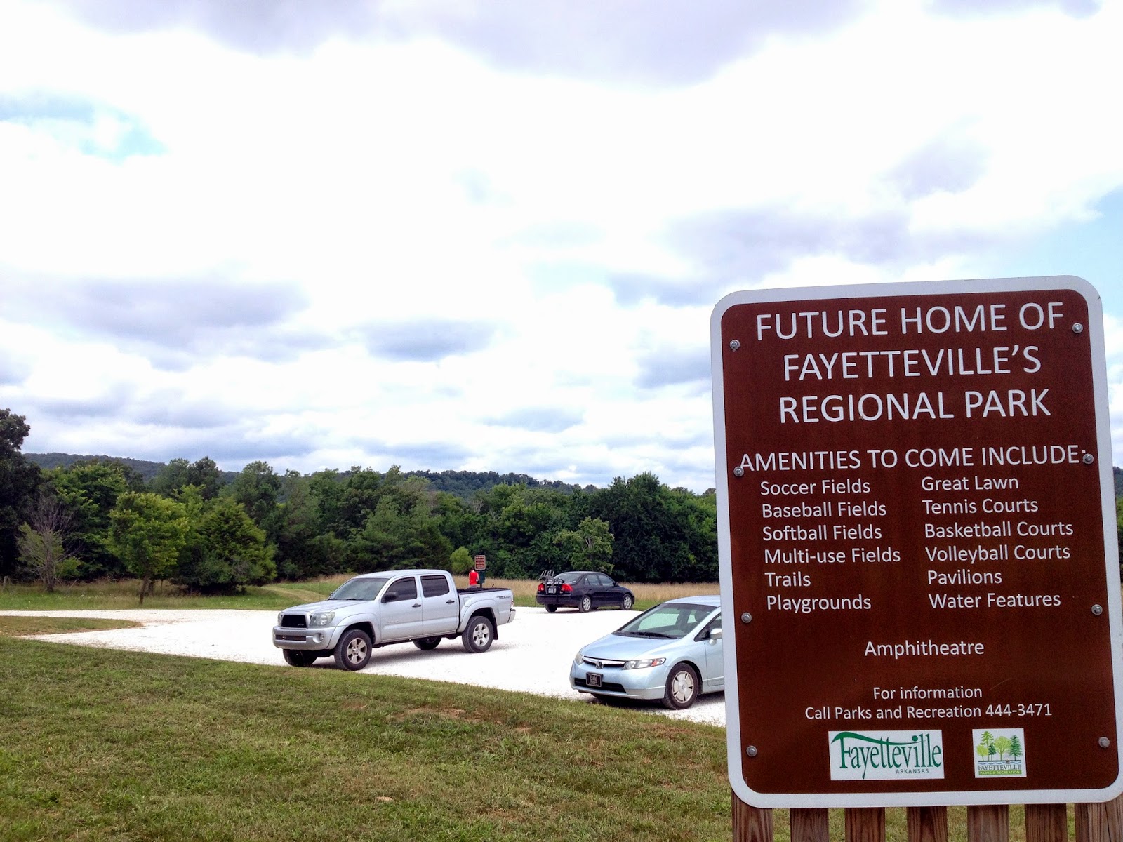 |
| Parking Lot and Trailhead |


 |
| Trail up to Mt. Kessler |
For photos and more information on Mt. Kessler:
http://trailsofarkansas.blogspot.com/2012/12/mt-kessler-revisited.html
http://trailsofarkansas.blogspot.com/2012/11/mt-kessler-greenways.html
http://www.mtkesslergreenways.com/
View Mt Kessler / Regional Park Expansion in a larger map
No comments:
Post a Comment