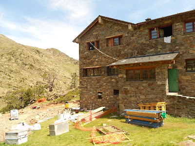
The first hike left out of Arinsal in the west of the country. You can get most places using the bus system, but this can leave you with some extra miles hiking on roads. Our original goal was to get to the highest point in Andorra, Coma Pedrosa and the point nearby where Spain, France, and Andorra meet. We changed our minds pretty shortly after starting the hike (green line on map below) and decided to head west up to the Refugi De Coma Pedrosa (at end of blue line). This Refugi is situated in a scenic valley and by a small mad-made lake. It offers beds to sleep on and also has sandwiches, soups, and drinks. After eating lunch there, we continued uphill to a ridge that took us briefly into Spain before heading back down into Arinsal via the seasonally abandoned Valnord ski slopes (red line).
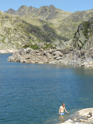
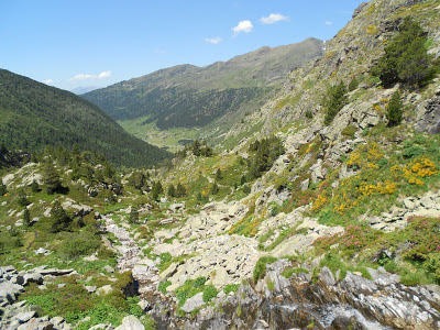
After taking a day to relax, we did a second hike in the eastern part of the country up the Vall d'Incles. Using the bus system added about four miles to our hike, but the entire valley was so scenic we didn't mind. This hike was much more popular than our first, likely due to a lower starting elevation and lower elevation gain. The first part of this hike (green section) is not very steep as it heads up the beautiful pastoral valley for about 2 miles along the road. As you leave the road behind, the trail gets rockier and steeper (blue section). After another 1.5 miles and a ~1,300' gain in elevation, you come to the Refugi de Jucia near the shores of two lakes, Estany Primer de Juclar and Estany Segon de Juclar. Angela enjoyed her time here by reading a book and relaxing at the refugi, while I swam in the frigid lake (a backpacking tradition of mine) and hiked up to the top of the ridge on the far side of the lakes which marks the border with France.
 |
| Food Selection at Refugi De Coma Pedrosa |
 |
 |
 |
| Vall d'Incles |
 |
| Estany de Juclar |
Arinsal - Refugi De Coma Pedrosa Hike
View Andorra Hikes in a larger map
Vall d'Incles Hike
View Andorra Hikes in a larger map


No comments:
Post a Comment